
These hand-painted maps were done by Wu Run-De towards the end of the Qing Dynasty. They form an original album of all the provinces of China, plus Old Beijing. The album was prepared and the paintings were painted in the ‘Ding Wei Year’. It is not specified which Ding Wei year is meant, but because the Railway Station in Beijing is shown, and it was constructed in 1901, it must have been the Ding Wei Year which followed 1901. It is somewhat amusing that the title of Wu’s album is Maps of the Earth, although we may call it Geographic Maps, since the maps only relate to China, not the Earth. The map of Old Beijing has previously been posted online, with the gates identified, on the Foundation’s other website, ‘Beijing of Dreams’, which is www.beijingofdreams.com. Each map in the album covers one page. Railways are shown. Tibet is divided between two maps. There are two separate maps of Jiangsu Province. One map is devoted to The Course of the Yellow River. Three provinces of the East are combined in a single map. Two of the maps are devoted to different roads leading to Tian Shan, the sacred mountain. This suggests that Wu was concerned with the Imperial ceremonies, and he was thus possibly an official of the Court under the last Emperor. So far, no biographical details of Wu Run-De have been discovered, but it is hoped that some will come to light, so that he may be properly identified. He was certainly an industrious cartographer who deserves recognition for his work.
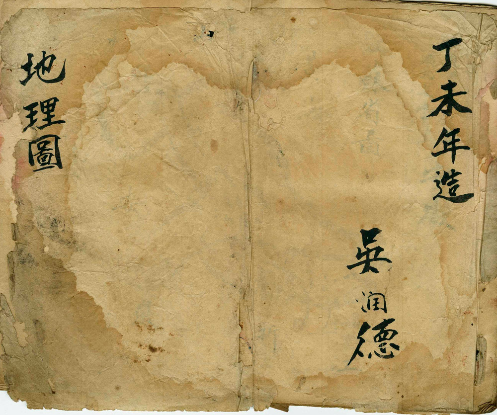
Cover of the album: MAPS OF THE EARTH by Wu Run-De, Ding Wei Year.
Jiangsu Province
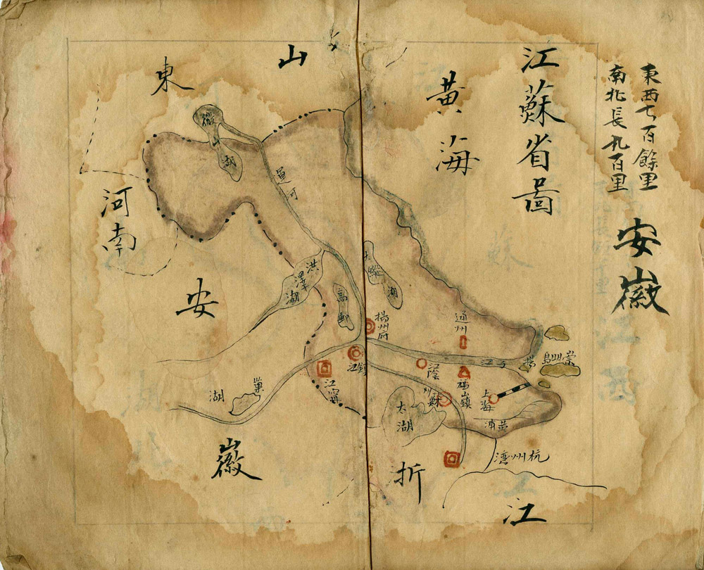
Anhui Province
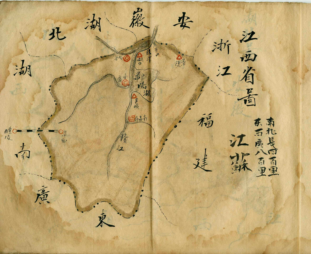
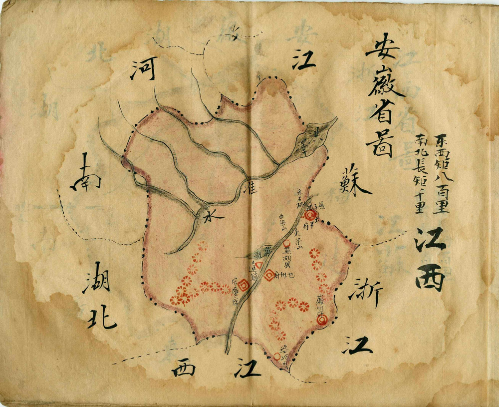
Jiangxi Province
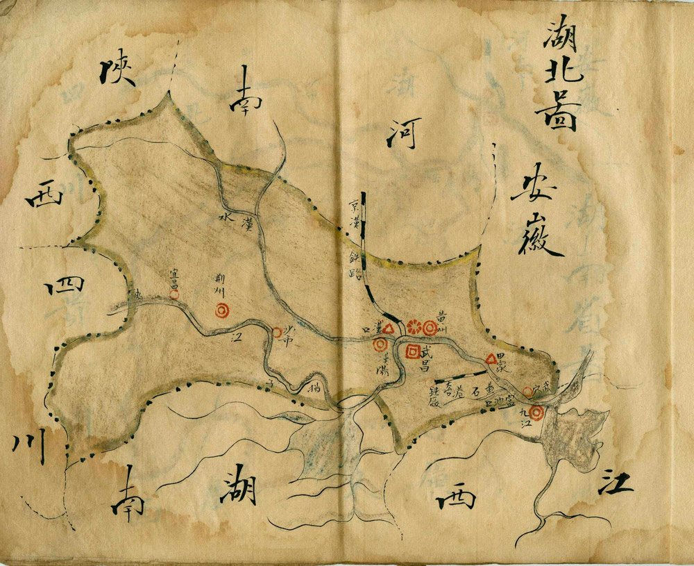
Hubei Province
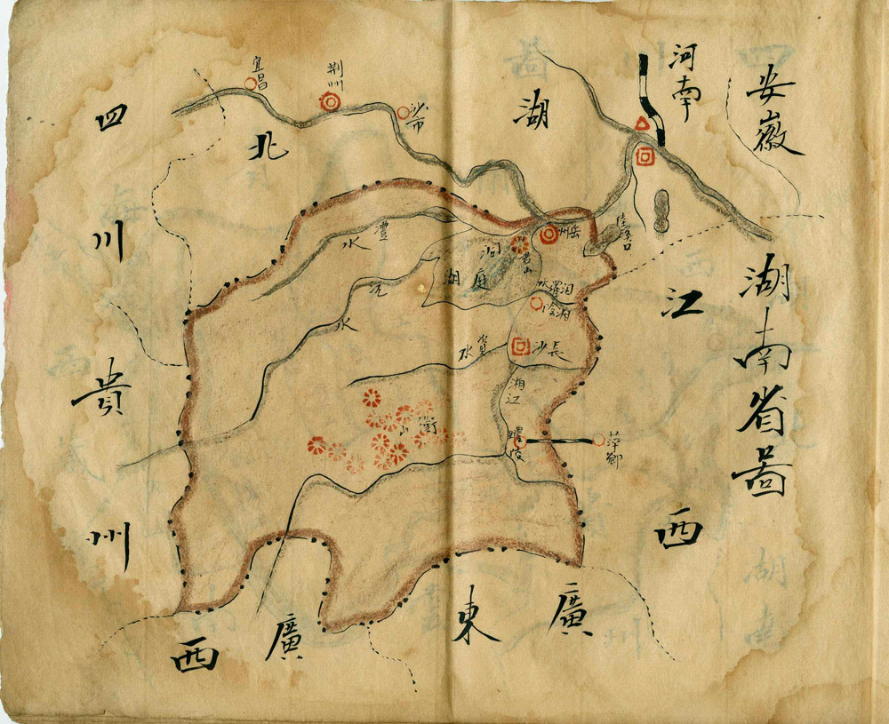
Hunan Province
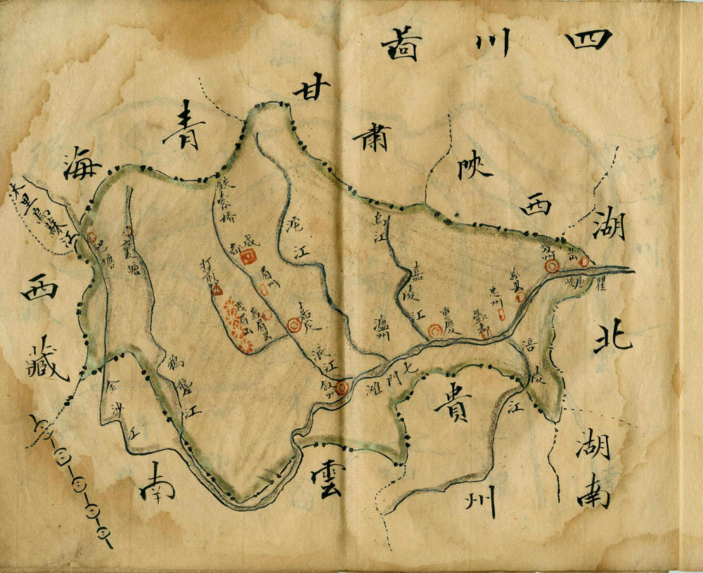
Sichuan Province
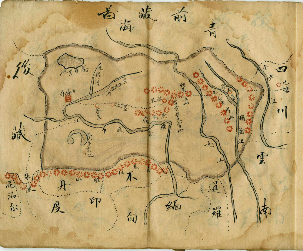
‘Front of Tibet’
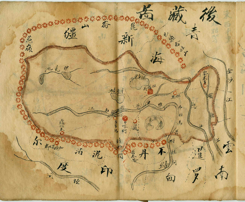
‘Back of Tibet’
Henan Province
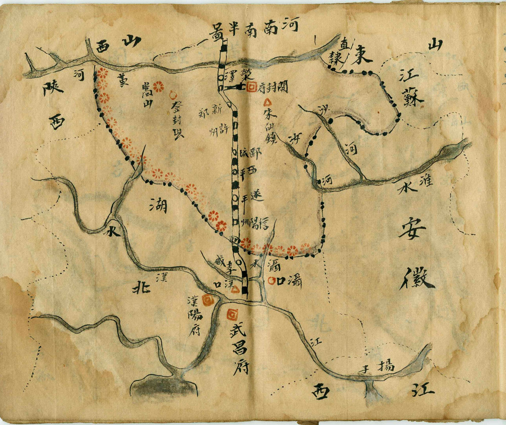
Southern Half of Henan Province (including railway map of Wuchang)
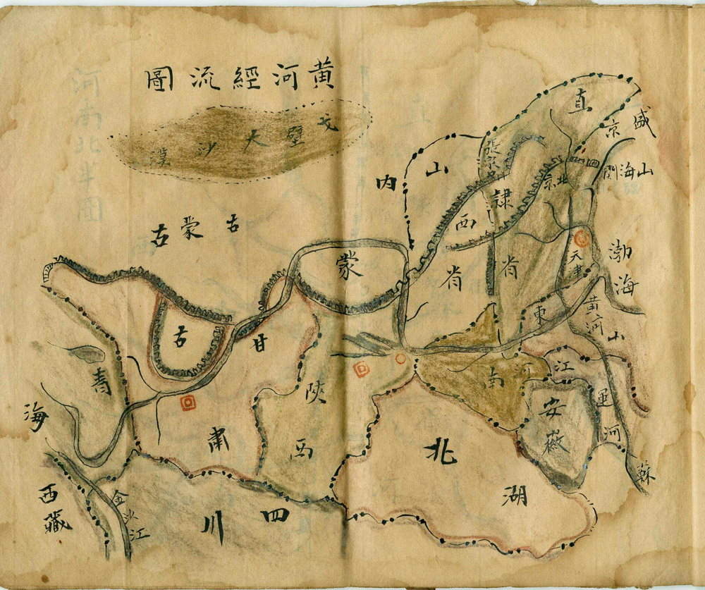
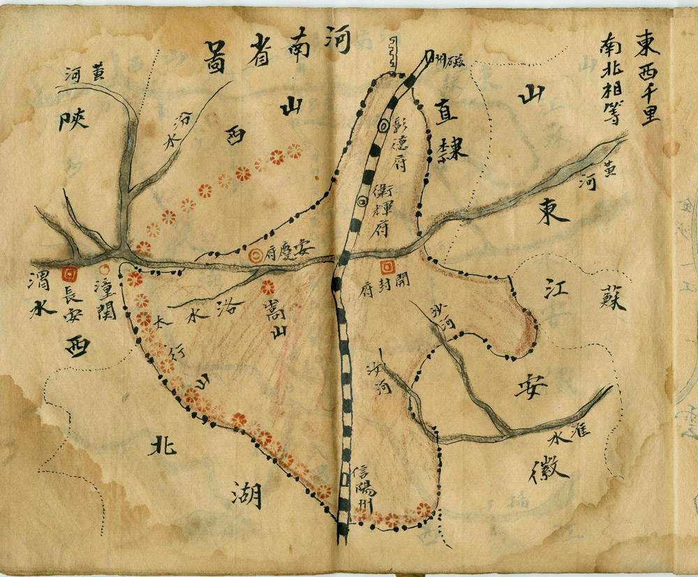
Course of the Yellow River
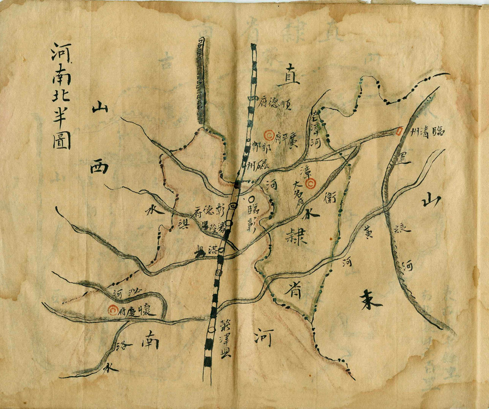
Northern Henan Province
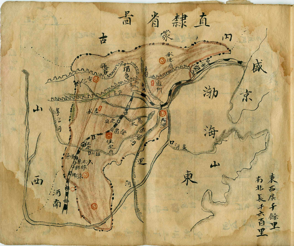
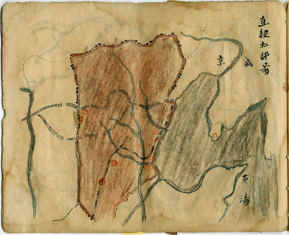
Zhili [the area around Beijing]
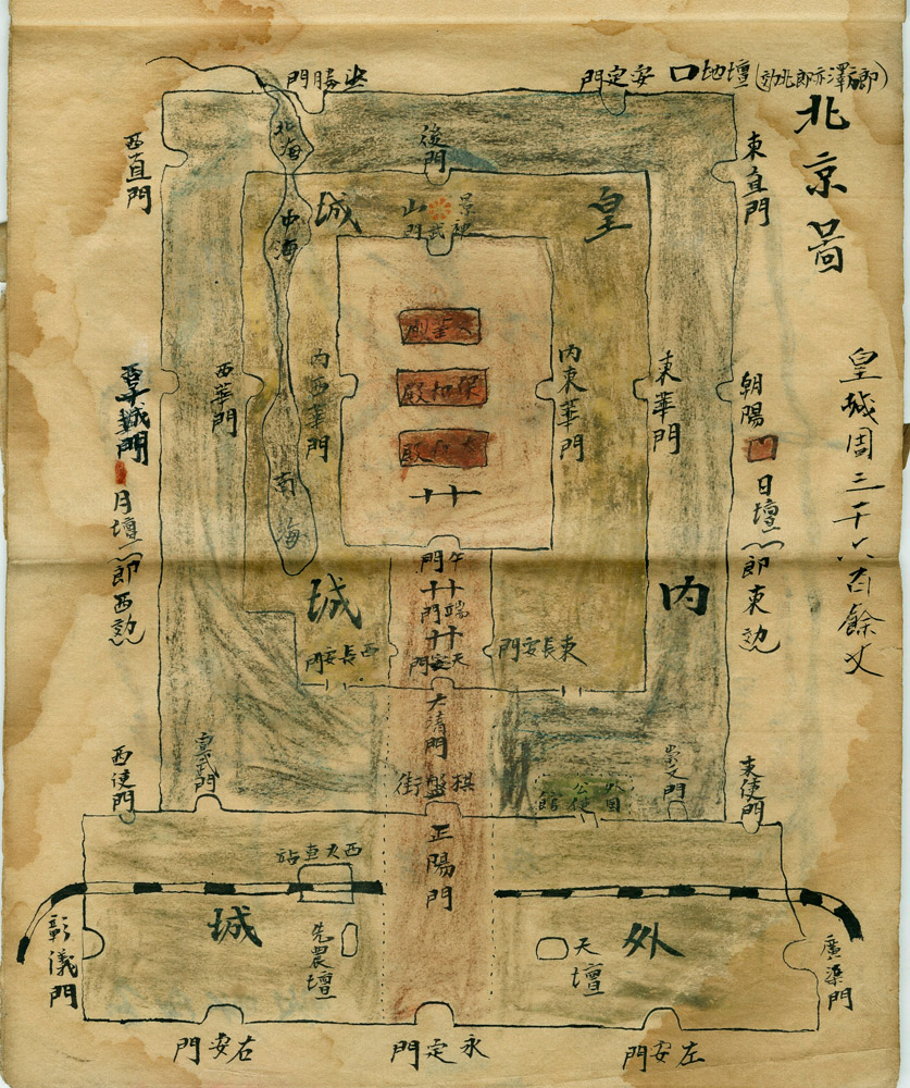
Beijing
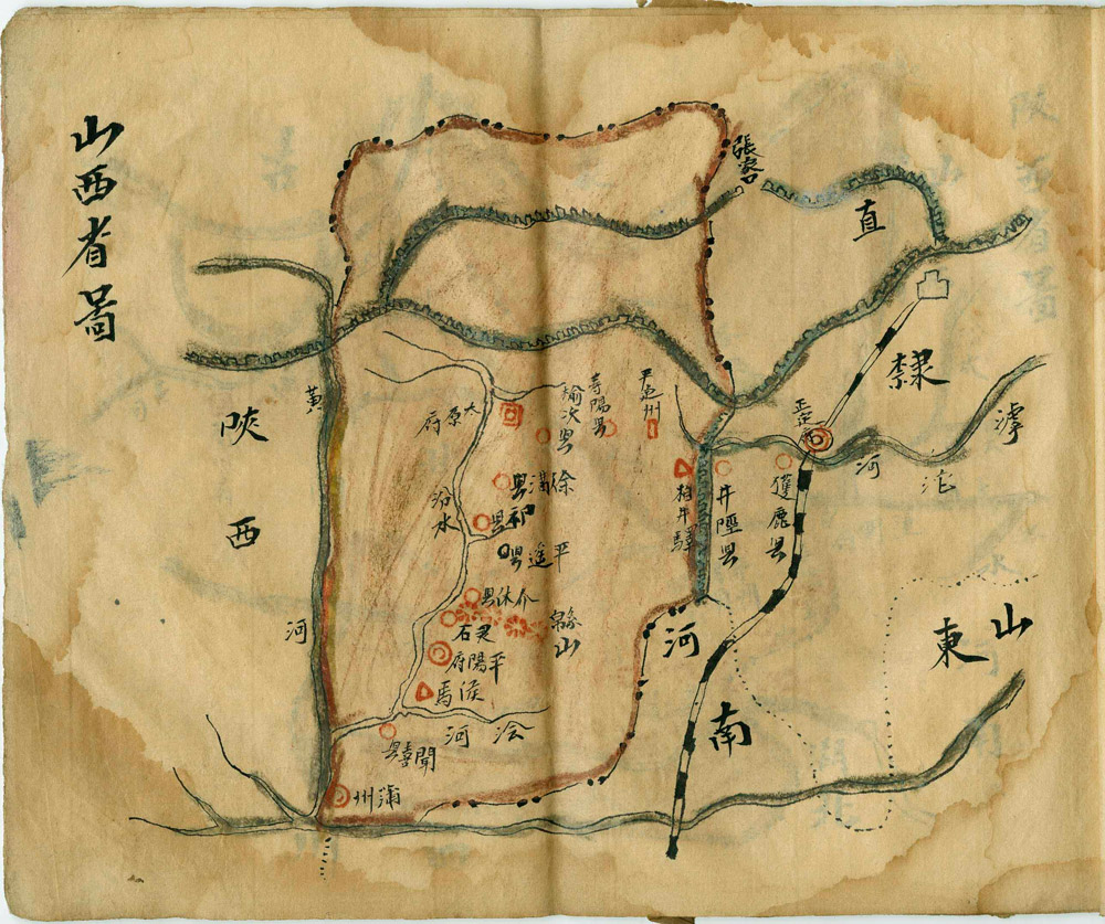
Shanxi Province
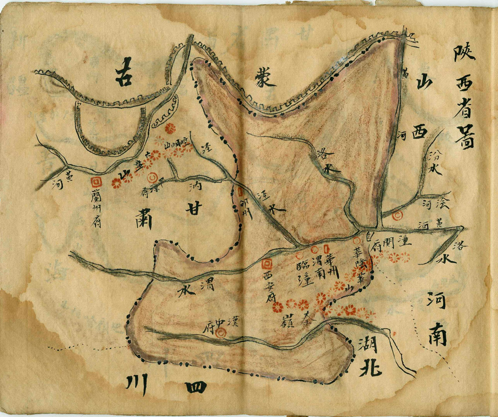
Shaanxi Province

Gansu Province

Qinghai Province
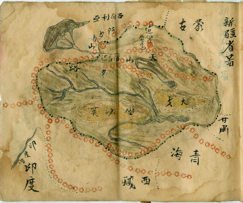
Xinjiang Province
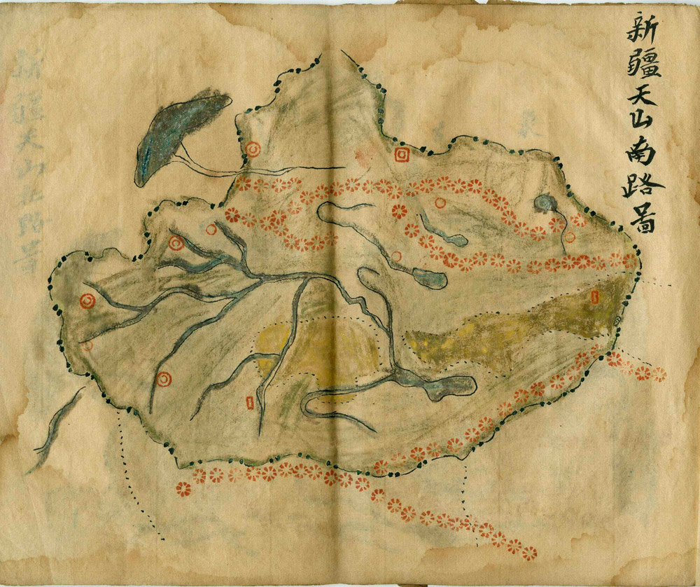
The Southern Road to Tian Shan in Xinjiang

The Northern Road to Tian Shan in Xinjiang
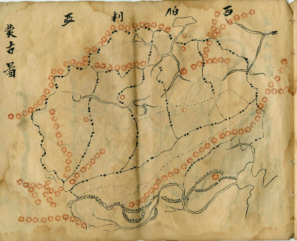
Mongolia
Northern Zhili
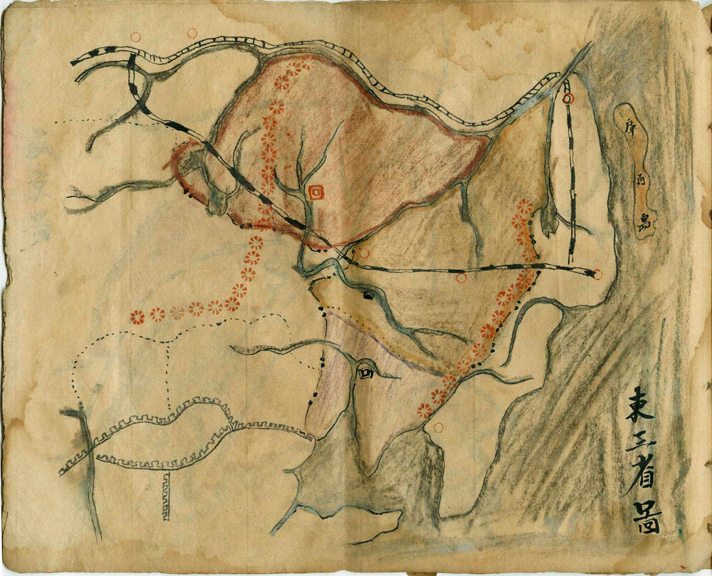
Three Provinces of the East
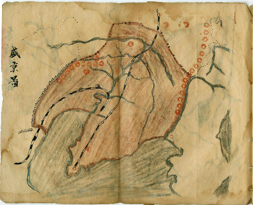
Sheng Jing Province [today known as Liaoning Province]
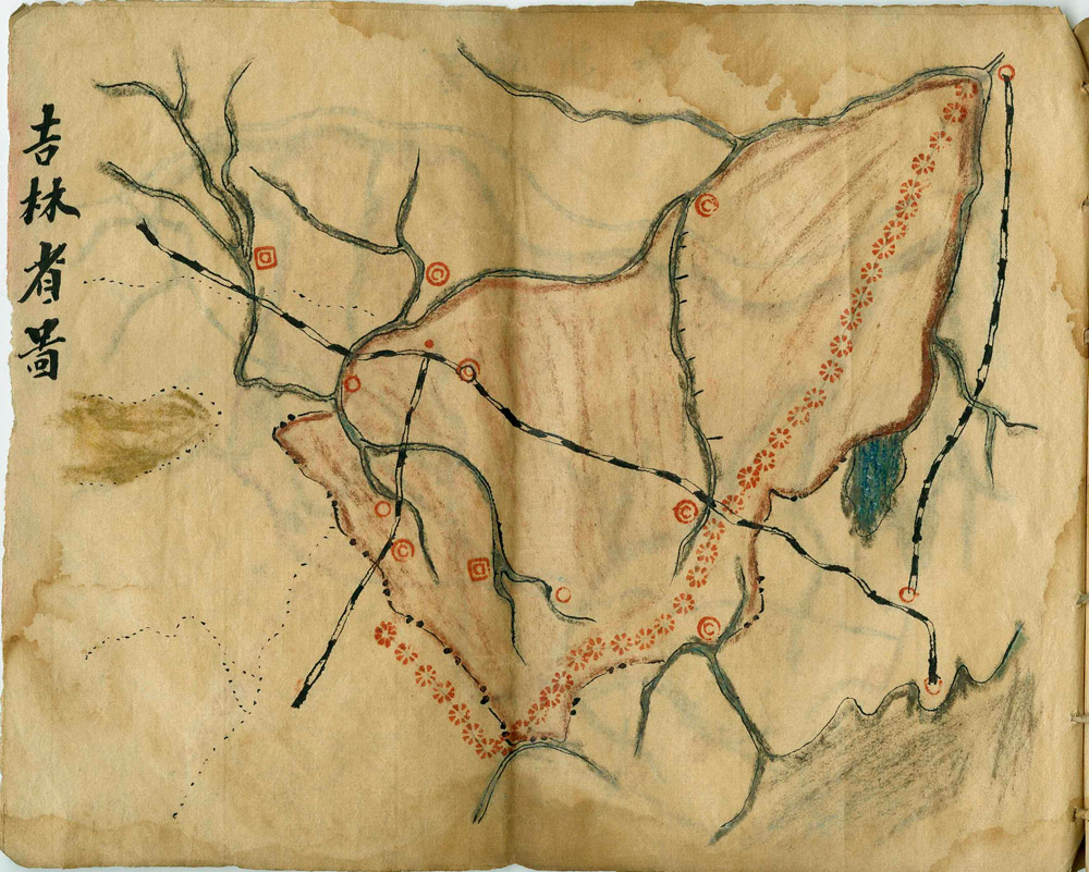
Jilin Province
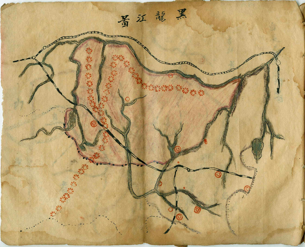
Heilongjiang Province
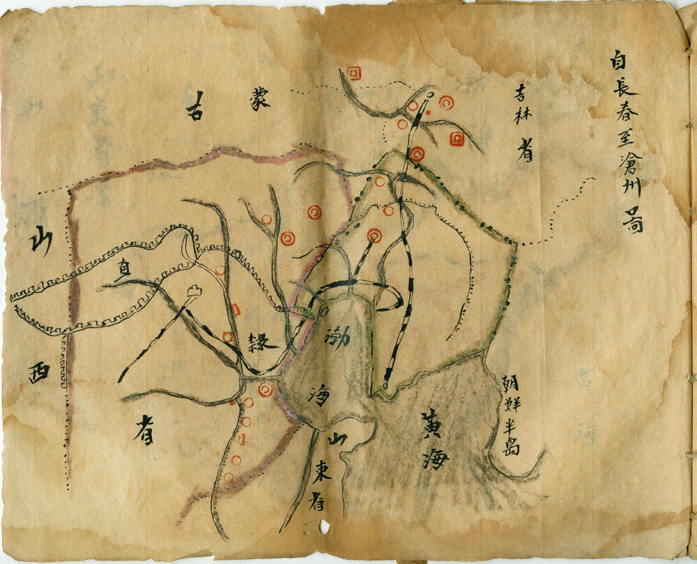
Changchun to Changzhou [beside Korea]
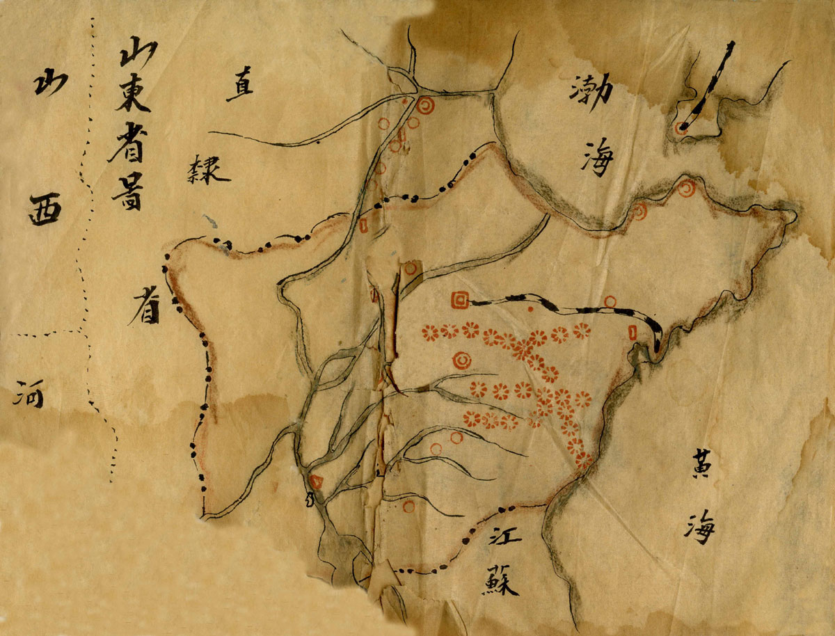
Shandong Province

Another Map of Jiangsu Province [showing some differences from the first, and also damaged, with half of the map lost]

Tip! Click to view in your browser's PDF viewer, right click to save to your computer...